

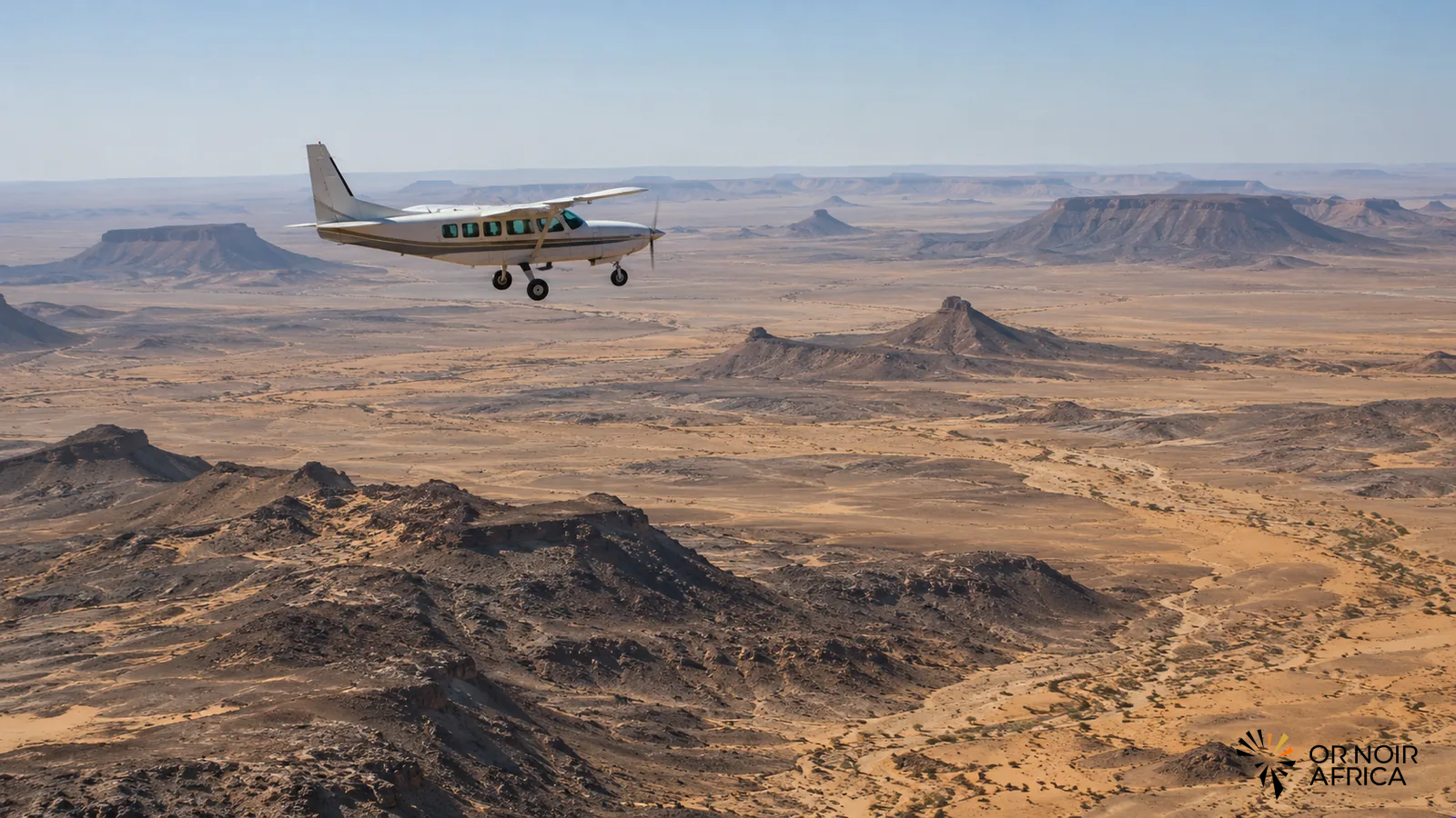
Mauritania is becoming a new area of operations for Xcalibur Smart Mapping, a Spanish specialist in airborne geophysical surveys. An initial magnetic survey was carried out in the spring in the north of the country for Archaean Minerals, with support from Mauritanian partner IDM. The operation marks a milestone for the service provider and for a mining sector seeking better information on its subsurface to attract new investment.
The aircraft arrived in Nouadhibou in mid-April and was scheduled to conduct measurements until early May. The announced timetable was tight, but the strategic significance extends beyond a single flight or campaign. Xcalibur says this is its first operation of this kind in Mauritania and mentions other potential projects with public bodies, mapping agencies and international companies. Those prospects remain unconfirmed: they are not yet awarded contracts or funded exploration programmes.
A reconnaissance tool, not a deposit discovery
Magnetic geophysics measures variations in the Earth’s magnetic field to identify contrasts in subsurface rocks. The data can help geologists interpret structures, define areas of interest and prioritise subsequent work. An airborne survey covers large areas quickly and provides an initial picture of the terrain, particularly where ground access is difficult or costly.
However, this technology does not prove the presence of an economically viable deposit. A geophysical anomaly is a lead to investigate, not a mineral reserve. It must be assessed against mapping, samples, geochemical analyses and, where results justify it, drilling. The survey’s value will therefore be measured by its ability to reduce uncertainty and guide exploration expenditure, not by its ability to announce a discovery on its own.
This distinction matters for Mauritania. The country’s mining industry is based notably on iron ore and gold, while the authorities seek deeper knowledge of other resources and a broader investor base. More precise geological information can make some areas easier for operators to assess, but it does not replace a stable regulatory framework, access to infrastructure or proof of a project’s economic viability.
The service provider at the start of the value chain
Xcalibur operates upstream of extraction. The company acquires and processes data, then delivers maps and interpretations that can help licence holders and public authorities decide where to continue work. Establishing operations in Mauritania, even initially through a one-off survey, allows it to test logistics and local partnerships in a new environment.
IDM’s involvement is another point to monitor. International service providers need local expertise and contacts to organise operations, understand conditions on the ground and comply with national procedures. As assignments are repeated, knowledge transfer becomes the issue: who accesses the data, who develops processing and interpretation skills, and how much technical value remains in the country after the work ends?
For the state, subsurface mapping can serve several objectives at once. It can guide exploration programmes, support mining planning and allow better comparison of licence applications. But these benefits depend on data quality and continuity. Dispersed surveys carried out without a common framework or archives accessible to institutions may produce information that is difficult to combine. Geological data policy is therefore as important as data acquisition itself.
From commercial interest to confirmed projects
Xcalibur’s first assignment does not yet demonstrate a wave of mining investment in Mauritania. Announcements of future operations must be distinguished from signed contracts, and geophysical surveys from drilling campaigns. For investors, the next step will be to turn the indications gathered into verifiable targets and then secure financing for their assessment.
Nevertheless, the approach signals a changing market. Specialised exploration services can establish a presence before major industrial decisions: they reduce part of the geological risk and make projects easier to compare. For the country, the challenge will be to turn this expertise into lasting knowledge, skilled jobs and better-informed investment decisions.
Mauritania now has a first concrete case with which to assess that promise. If the survey leads to further work and forms part of a coherent national mapping programme, it could strengthen the sector’s attractiveness. If it remains isolated, its impact will be more limited. The significance lies not only in a service provider’s arrival, but in the ability of institutions and partners to follow up operationally on the data produced.
The next indicator to watch will therefore be the publication of usable results and confirmation of new assignments, rather than the aircraft’s temporary presence in the country.
Have any thoughts?
Share your reaction or leave a quick response — we’d love to hear what you think!
-
 0
-
0
-
0
-
0
-
0
-
0